IRT Intricacies 5: South Ferry

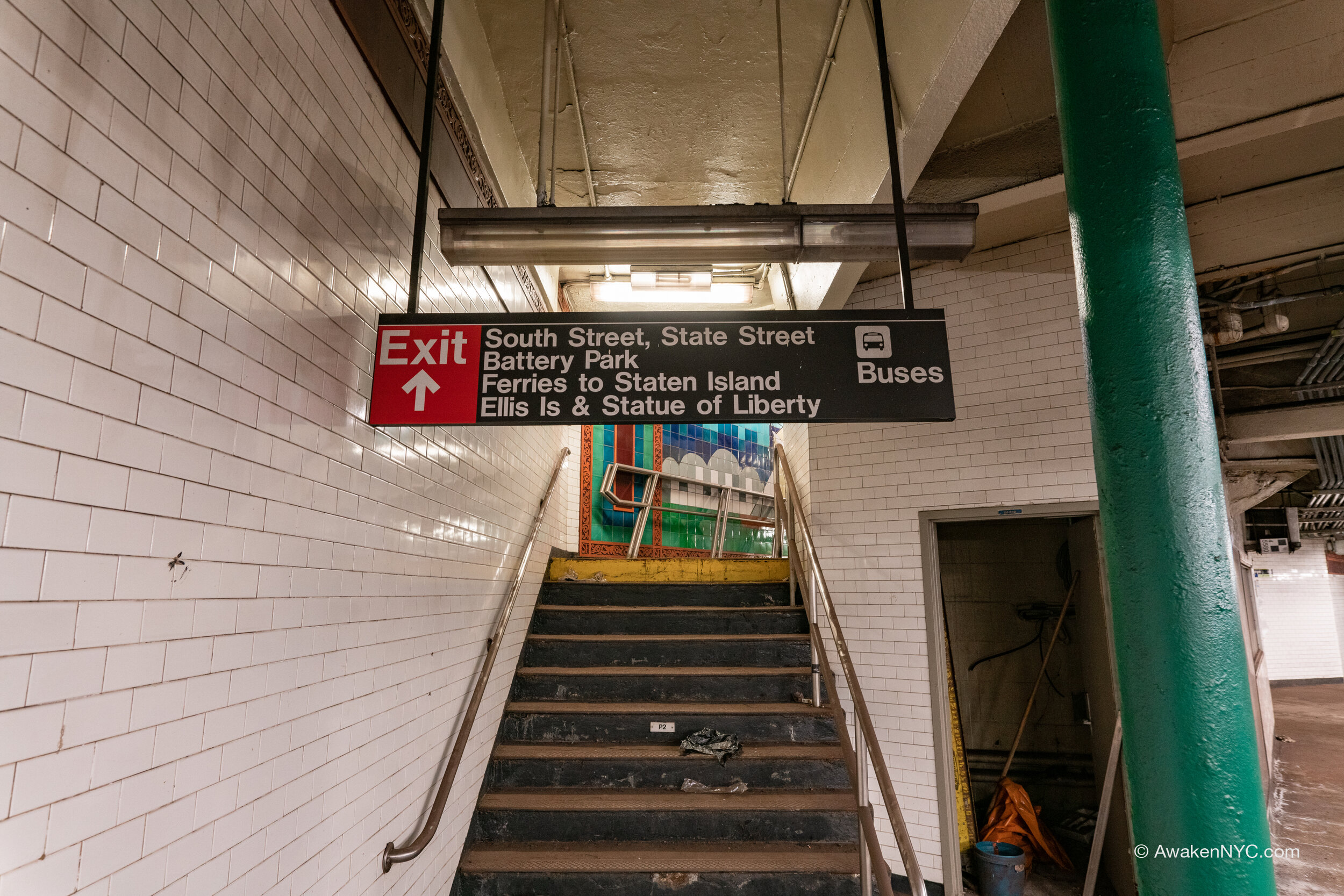
South Ferry outer loop platform

So far, I’ve covered abandoned stations from the original 1904 IRT subway line. Soon after the 1904 opening of the IRT, large expansions were made to the system. The South Ferry loop station opened in 1905, constructed as a part of Contract 2. (Contract 2 extended the IRT south from City Hall, through the new Joralemon St Tunnel under the East River, and to the Atlantic Terminal at Atlantic Ave/Flatbush Ave in Brooklyn. The C2 construction was completed in 1908.) At that time, the loop tracks were connected only to the IRT Lexington Ave line at Bowling Green, and only the outer loop platform had been constructed. Southbound trains not headed to Brooklyn could instead turn back north here. The outer loop platform was built at 5-car length, like most other original IRT local stations. However, like the City Hall loop, it was never extended to full length due to the impracticability of doing so.

South Ferry inner loop platform

Since the opening of the Atlantic Terminal in 1908, many trains were regularly sent to the Bowling Green loop instead of continuing to Brooklyn, despite high demand in Brooklyn. In response, a third track was built at Bowling Green, along with a 2-car-length platform, and the inner loop platform at South Ferry was constructed. When the Dual Contracts expansion of the IRT system was opened in 1918, the new platforms were placed into service for the Bowling Green shuttle.

Additionally, as part of the dual contracts construction, the IRT 7th Ave line—which would extend south to South Ferry—was built starting in 1914 and completed in 1918. This created the connection that the (1) train currently utilizes. Trains from 7th Ave would always utilize the outer loop track and platform, while the Bowling Green shuttle and trains from Lex used the inner loop track.

The Bowling Green station was long plagued by overcrowding, and in 1972, the MTA rehabilitated the station and built a new side platform for the northbound track to address the problem. It was at this time that the ‘70s style orange tiles were installed. All of the MTA stations built and rehabilitated during this time received a “fresh” treatment with these ugly-but-intriguing tiles.

Bowling Green, as seen from abandoned shuttle platform

As the fiscal crisis hit the city during this time, Bowling Green shuttle service was cut to help reduce the MTA’s operating deficit (despite the fact that the platform had just received the same fresh tile treatment), and the Bowling Green shuttle and South Ferry inner loop platforms were abandoned.

After 9/11, the city received recovery funds from the federal government for rebuilding destroyed subway lines, and some of this was dedicated towards a new South Ferry station project. The project ended up costing $530 million, and included building an entirely new South Ferry station complex. The project would increase the hourly train capacity of the (1) line, as well as make the platforms full 10 car length and give the MTA’s 21st century station look to South Ferry.

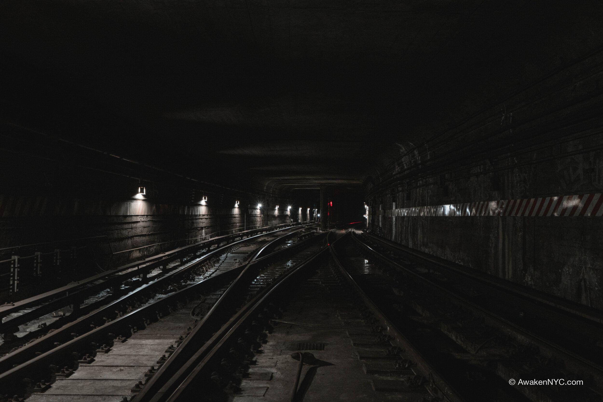
Newer tracks leading to new South Ferry station

With the completion of construction of the new South Ferry, the South Ferry loop was officially abandoned in 2009. However, a few short years later in 2012, Hurricane Sandy hit the city. Storm surge flooding caused the entire new South Ferry station complex to flood, along with most of the under-river tunnels. South Ferry was damaged so severely that the new station was completely shut down, and (1) service terminated at Rector St for around 8 months. During this time, the old South Ferry loop station was rehabilitated and opened for full time service again, as it was not damaged nearly as badly as the new station.

The old South Ferry loop stayed in service for a few more years while the new station complex was reconstructed and rehabilitated. The loop station was officially abandoned again in 2017, with the second opening of the new South Ferry station.

Today, the old loop station has collected quite a bit of dust, but remains lit and looking very much the same as when it was first closed. I personally love the architecture of this station, and it’s a shame they couldn’t have replicated some of the artwork from the old station in the new station. It’s always nice to visit this place.

IRT Intricacies 4: 91st St

From 18th St, our journey takes a turn northwest up to the Upper West Side. Here, still on the original IRT Subway line, lies the 91st St station. In service from the original opening of the IRT in 1904, the 91st St station was a local station on the IRT Broadway line until it was removed from service in 1959. Like 18th St and Worth St, 91st St was closed after the systemwide platform lengthening project, as it comes within close proximity of the full length 86th St and 96th St platforms (especially 96th, which ends close to 93rd St). Today, the 91st St station sits collecting dust, with most of the original tile work under several coats of spray paint.

42nd St Lower Level

Walking down the dark and dirty roadbed, the sound of boots squelching through mud echoed through the tunnel. Despite the trash and dirt strewn everywhere, I was comfortable. We were walking up the IND 8th Ave line, AKA the (A) (C) (E), and I was in my element.

If you’ve read a good portion of the posts on my page, you may have noticed that I love the IND. Beyond my appreciation for their ambitious plans and (often) good engineering, there is something special about walking through an IND tunnel. They tend to be more spacious than the IRT and BMT, and overall just have a different vibe. The usually-longer length between stations gives IND tunnels a unique kind of solitude. Late at night, it makes for a nice break from the usual hustle and bustle of the Big Apple.

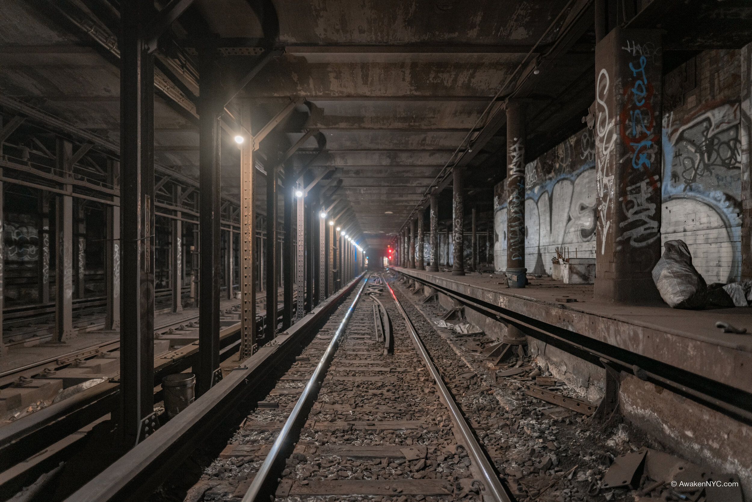
Back under Midtown Manhattan, we neared the end of the tunnel, a dull fluorescent light illuminating the edge. The sludge deepened, though not as much as we expected, and we climbed up onto the platform without too much mud on our boots. The number “42” could be seen on the wall. The 42nd St lower level station on the 8th Ave line was officially abandoned in 1981, after being used for 23 years as a station for special trains (such as the JFK Express, “Train to the Plane”). Oddly enough, the lower level began construction in in the late 1920s along with the rest of the station, but it wasn’t completed until 1958. The reasoning for even building this isolated platform is unclear. In 2010, the MTA cut right through the middle of the 42nd Lower platform in the construction of the 7 line extension to 34th St—Hudson Yards. The platform was divided into thirds, with the north and south segments remaining pretty much intact, and the middle segment containing electrical equipment for the 7 line. Though it isn’t my favorite part of the 8th Ave line, it’s always nice to pass through this piece of history.

IRT Intricacies 3: 18th St

Continuing up the original IRT subway, we arrive at our next abandoned station: 18th Street. 18th St was put in service with the rest of the IRT line from City Hall to 145th St on October 27th, 1904, with two 5-car side platforms, as was the standard for the IRT local stations.

As platform lengthening spread through the system, the 23rd St station (the next stop going north) was extended south, and the 14th St-Union Square station was extended north. With the average NYC block being about 264 feet long between consecutive streets, it was illogical to have the three stations so close together. As a result, 18th St outlived its useful life, and it was removed from service on November 8th, 1948.

IRT Intricacies 2: Worth St

After posting the first edition to this series, I realized that I left out something very important—what IRT actually means. The IRT was the Interborough Rapid Transit Company, the first of the three companies in NYC that ran subways. Soon after the creation of the IRT came the BRT (Brooklyn Rapid Transit Company, replaced by the BMT—Brooklyn Manhattan Transit Corporation), and finally in 1932, the city-owned and city-operated IND (Independent Subway System).

Going up the original IRT subway line, we come to the first abandoned station: Worth St. Unlike other abandoned IRT stations, the west platform (formerly the southbound local platform) is full length, fitting 10 car trains. Stations on the original IRT line were built with 5 car platforms, with all but the abandoned stations soon being extended to 10 cars. The northbound Worth St platform was left at 5 car-lengths.

The Worth St station was abandoned after the next station south, Brooklyn Bridge-City Hall was extended to 10 cars. Since the Brooklyn Bridge station was extended north towards Worth St (due to the south end of the station being in close proximity to the City Hall interlocking), the Worth St station outlived its useful life.

IRT Intricacies 1: City Hall Loop

It’s only appropriate to start this IRT-focused series with a City Hall loop post. This iconic spot is probably the most well known abandoned station in NYC, and for good reason. The station was designed by Rafael Guastavino and features breathtaking architecture, with arched ceilings, colored tiles, chandeliers, and skylights. It was designed to be the crown of the original IRT subway—the first subway line in NYC—opening with the rest of the line up to 145th St on October 27th, 1904.

As time went on, the IRT lengthened trains and stations from 5 cars to 10 cars to increase capacity. This would be the downfall of the City Hall loop station: since it was built so close to the Brooklyn Bridge station, an express stop, it was illogical to lengthen the City Hall platform to 10 cars. As a result, revenue service at the station was discontinued on December 31st, 1945. However, the loop is still used to turn (6) trains from the downtown to the uptown track, as Brooklyn Bridge is the southern terminal station. It is still possible to see the station without endangering oneself: the Transit Museum offers tours a few times a year to members, though tickets sell out quickly; it is also possible to stay on the (6) train after Brooklyn Bridge, the station is visible through the window (although this is technically against the rules, it’s unlikely anyone will stop you). Also, to make it very clear, I do NOT condone “subway surfing” into the station. It is dangerous and people often get hurt trying this method of entry.

This series will heavily focus on the original IRT subway line, which ran up the East Side, across 42nd St, and up the West Side, starting at City Hall and terminating at 145th St/Broadway. This original line has many interesting artifacts of another time, for which there is plenty to write. That’s not to say there won’t be some focus on other lines—there are definitely many more “IRT Intricacies” outside of the original line and outside of Manhattan, and I am excited to discuss them.

SSG 15: Underbelly 2 - Utica Av Upper

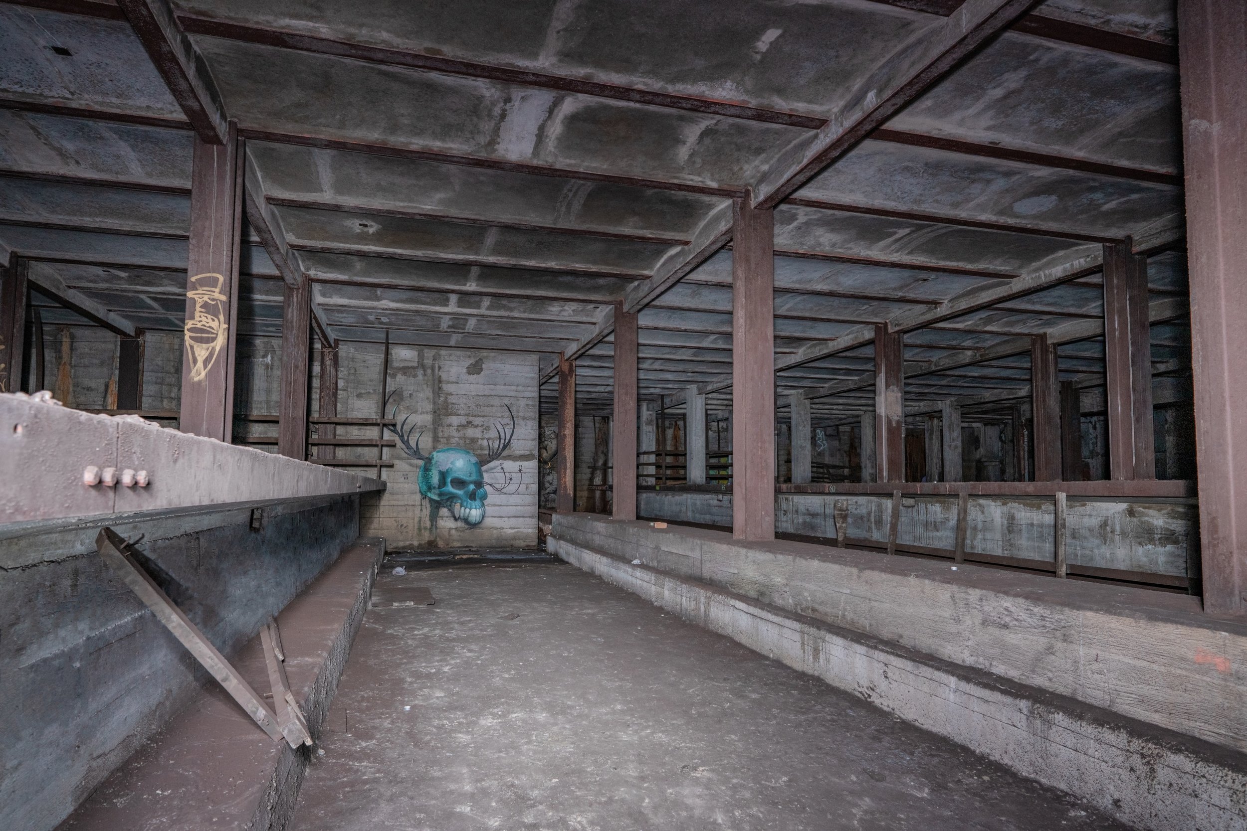
S 4th St station shell, AKA “The Underbelly Project”

As we move deeper into the IND Second System plans, it becomes apparent that the IND had big ideas for Brooklyn. One of these plans remains relevant to this day: the Utica Av line. Recently, the MTA began reviewing the feasibility of a Utica Av line as an extension of the IRT Eastern Parkway line (the 3 and 4). A subway going under Utica Av would serve an area which lacks good rapid transit option extremely well. The IND knew this even in the 1929 plan, and they planned accordingly. Several provisions were constructed to allow for other lines to feed into Utica Av, including provisions for the Worth St line, a new crossriver tunnel, and two station shells. The first station shell, built above the Broadway (G) station, was for the S 4th St station, now better known as “Underbelly,” due to the underground art installation titled the Underbelly Project.

The Utica Ave upper level provision

This post is about the second of the two station shells, which was constructed at the Utica Ave station on the Fulton St line (the A and C). The station would have likely been renamed Fulton St—Utica Av upon completion of the Utica Av line, had it ever been built. Furthermore, the Utica Av station contains an enormous full length intermediate level mezzanine, now used as a storage and utility area.

Closed Utica Ave mezzanine

The station shell itself is very dark and extremely hot and humid. There is barely any ventilation within the shell. It is somewhat dusty, though it is not nearly as bad as the “brown snow” in S 4th St. Completely unlike S 4th St, this spot has managed to remain clean for over 80 years, feeling like a sliver of untouched history in a system that has shown rather obvious signs of its age in recent years.

SSG 5: The Winfield Spur

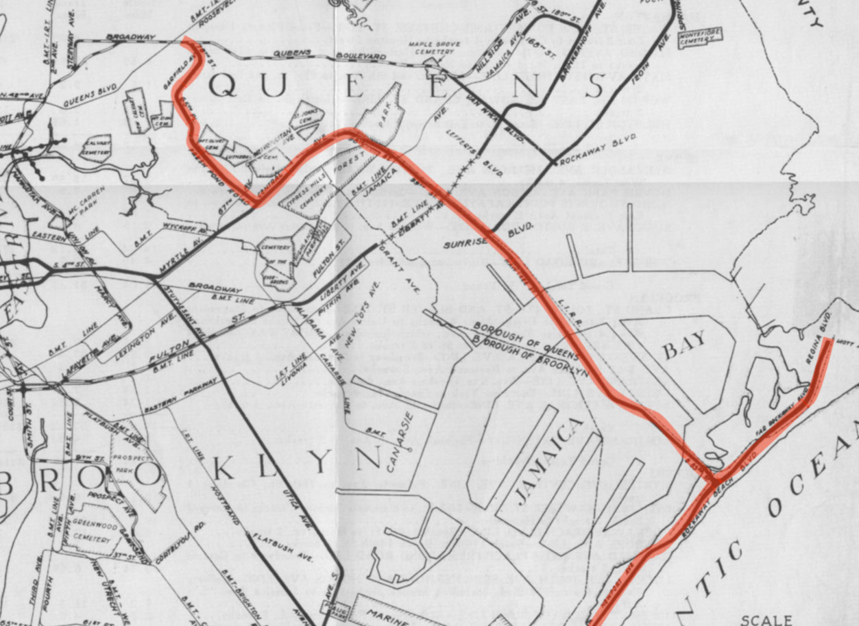
Looking at queens in terms of IND provisions, it would be impossible to neglect to mention this most notable of abandoned Second System relics: Roosevelt Ave Upper. This well known spot also may be known as the Winfield Spur. It includes a fully tiled station shell and a “spur” tunnel which runs above the Queens Blvd mainline and turns south at the east end of the provision. It was built during the original construction of the IND Queens Blvd line between 1933 and 1936, intended for full revenue service on a 2 track line going south through the neighborhoods of Maspeth, Ridgewood, and eventually the Rockaways. On the lower level, there are 2 provisional trackways hugging the mainline, which would have allowed Queens Blvd local trains coming from/going to Manhattan to run up through the Winfield Spur and join the line heading south.

The IND was serious about constructing this line—so serious, in fact, that the Roosevelt Av Upper station was actually fully tiled, unlike other IND station shells. The serious plans (from 1929) to use this station and the trackways beyond continued for nearly 10 years, dying out sometime in the late 1930s when it was decided that the new branch should extend from an area of Queens Blvd further east, near Rego Park.

The abandoned Rockaway Beach branch ROW

The line was intended to run underground through much of Queens and Brooklyn, actually joining another line which was planned to run up Myrtle Ave, branching from the S 4th St hub. After running up Central Av, the line would have come above ground to run over an already built LIRR Right of Way (the Rockaway Beach Branch). This Right of Way actually largely lays in decay now, after being abandoned in 1962. Some of the Right of Way (the bridge over Jamaica Bay into the Rockaways and the line in the Rockaways) was converted for use by the Transit Authority in 1955, and in 1956 the IND Rockaway Line (coming from the IND Fulton St Line) began operation. The (A) train now uses this southeastern branch full time, along with the Rockaway Shuttle. However, a large section of the ROW is still abandoned, and it would have been much better put to use as a subway line than what it is now: a somewhat nice place to walk and a breeding ground for mosquitoes.

As for what it is now, the space has not gone to complete waste. Although its story in terms of helping the city and the commuter, and providing rapid transit to underserved neighborhoods came to an end the way most IND Second System stories did, with the Great Depression and World War II draining the city’s and country’s resources to build rail infrastructure, the station shell is now used for storage and office space for the MTA. The tunnel does lay rotting, however. One trackway is nearly completely filled with garbage and the rest lay dark and lonely, never seeing light except from the occasional MTA worker, graffiti artist, or explorer. The construction is the standard IND Cut and Cover still, looking as boxy as ever. Also like usual, the abandoned tunnel is pitch black and extremely dirty. It is a true shame it will never get to see train headlights.

SSG 4: The East Broadway Provision

Continuing down what would have been the IND Worth St Line, one crosses the East Broadway (F) station. East Broadway would have run nearly directly perpendicular to the Second System line heading toward Brooklyn. As such, East Broadway was originally planned to serve as a convenient transfer point and a station twice its current size. One may notice while walking through the station that there are numerous dark and dirty staircases locked behind gates, and many locked doors in the public mezzanine. This is because the public station is but a husk of what was constructed.

The station was actually built with a full length intermediate level mezzanine which is also a provision for a station for the Worth St line. Tracks and a platform would have extended West-East in the middle of this intermediate level, perpendicular to the active station. As stated in the previous post, the line would have been highly beneficial to Brooklyn commuters, bringing full subway service to “transportation deserts” and also taking pressure off of elevated lines and more unreliable two track lines such as the (L). From this station, trains would have continued through a new crossriver tunnel into Williamsburg, into the S 4th St hub.

Below the provision, the East Broadway station is heavily deteriorating and will probably be due for a Station Renovation or Enhanced Station Initiative soon. Like other (F) line stations, especially on the Lower East Side, the station is regularly inhabited by the homeless and overwhelmingly reeks of urine in many areas.

The provision itself is rather dark and dirty, covered in “brown snow”. A portion is tiled like any plain IND mezzanine would be. The space is now used for storage and break rooms by Stations personnel. While this area will probably never see revenue service or customers, it is certainly cool to look at, especially being rarely photographed.

Second System Gems 1: The Underbelly

South 4th St, better known as the Underbelly Project, is a “station shell” built by the IND during the construction of the Crosstown Line, completed in 1937. Station shells are provisions for future expansions of the subway system, mostly built by the IND, which was the original subway company run by the city. They are all built somewhere in the vicinity of an active station, and were built in anticipation of plans for the future, so that active subway stations wouldn’t have to be completely gutted while building new intersecting lines.

The station shell

Historically, this spot has some significance. It was built to eventually be integrated as an enormous hub into the IND Second System, a plan which would have doubled the size of the city’s subway system, but the city continued to run out of money and almost the entire plan was scrapped. To this day, we see what the benefits could’ve been for developing neighborhoods that would be on lines branching from here, along with various other Second System provisions. Now, spots like this lay decaying and covered in “brown snow”, our name for the subway dirt mostly composed of steel dust. The only plans from the Second System that actually materialized in some form were the 63rd St Tunnel, the stub of the Second Avenue Subway that opened several years ago and that construction will continue on for the foreseeable future, the Chrystie St Connection, the Jamaica Archer Av Extension, and the 6th Avenue express tracks. 

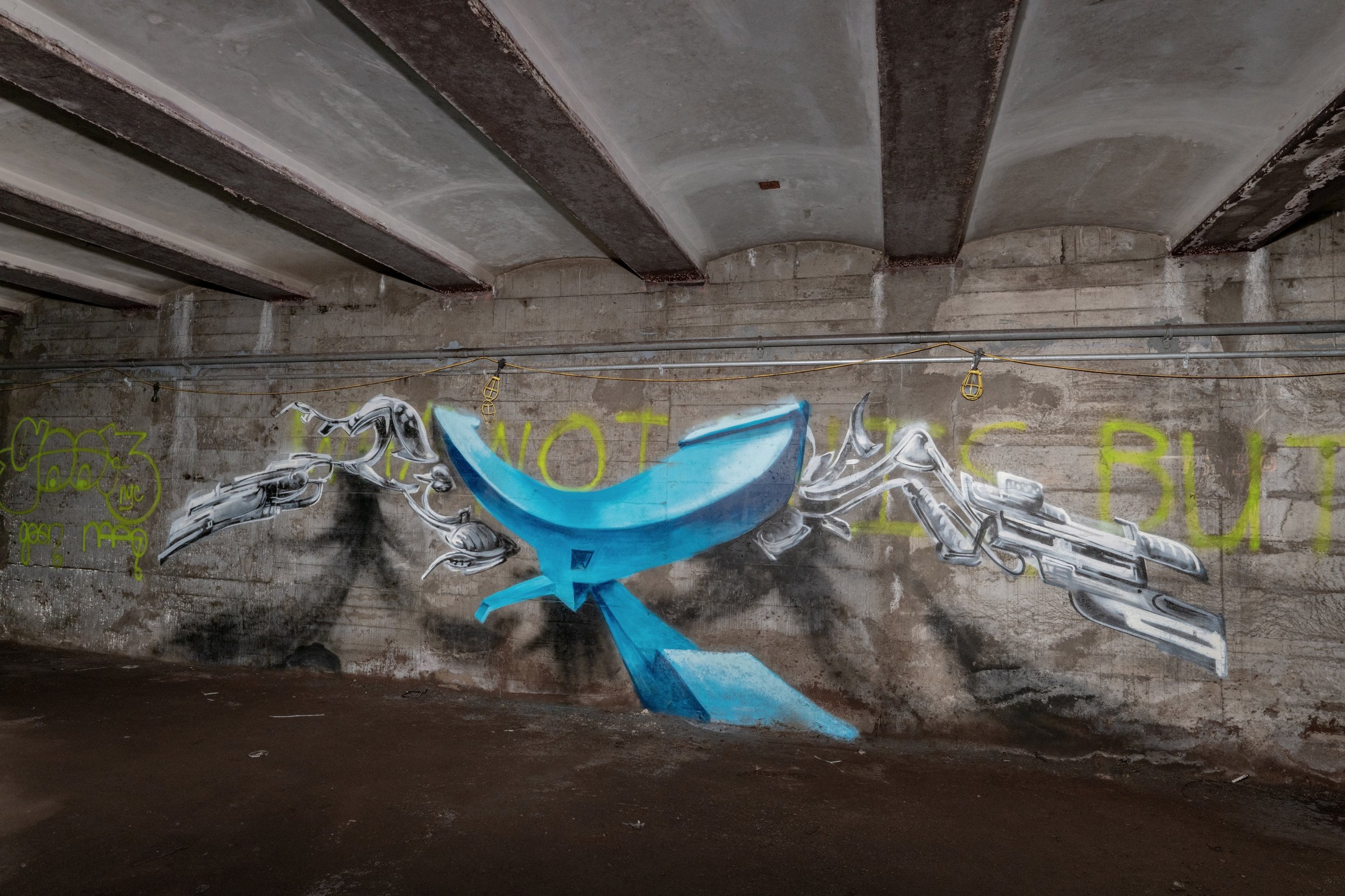
More recently, the Underbelly Project was completed by 2010. This art installation was a covert operation, involving over 100 artists being escorted into the station shell in the middle of the night. Everyone involved swore secrecy, creating a sort of secret forbidden art gallery underground. Upon completion, the “curators” removed their means of access and sealed up the spot, but word soon got out and hipster photographers flocked to the spot.

The usual shot people take

I always found interesting the lengths people have gone to and continue to go to in order to get inside this place. The MTA and NYPD have repeatedly cracked down on people visiting this place, resulting in arrests and heightened security (the peak being the installation of a cinder block wall over the old passageway leading in and a metal gate over the old doorway, along with motion sensors within). I personally am of the opinion that this spot is overrated, while there are many other great tunnels, but it may have been a better call by the MTA to try to preserve this place, possibly making it an underground gallery of sorts open to the public. People have flocked to this place since the Underbelly Project became publicized, for reasons ranging from a lack of creativity when taking photos to clout chasing to just trying to find an easier spot to get into that serves as a “cool” underground urban photo studio. Some have even come to the spot in order to destroy the artwork on the walls. However, there are some who are curious about the history of places like this, and I am thankful to those, as they help keep the history alive. Even by reading this and hearing what I have to say, you help to continue the story of this spot. Enjoy the photos.